Call us
(869) 466-2727
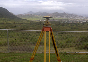
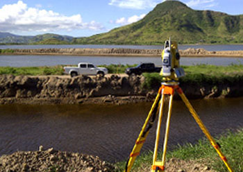
There are several measuring techniques that can be applied when surveying with Carrier-Phase GPS.
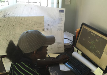
Also known as a geographical information system, is an information system for capturing, storing, analyzing, managing and presenting data which are spatially referenced (linked to location).
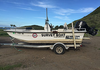
A survey conducted with the purpose of mapping the coastline and seabed for navigation, engineering, or resource management purposes.
A plot or map based on a survey of a parcel of land. Boundary lines are drawn inside the larger parcel to indicated the creation of new boundary lines and roads. The number and location of plats, or the newly created parcels, are usually discussed back and forth between the developer and the surveyor until they are agreed upon.
A survey to establish the boundaries of a parcel using its legal description which typically involves the setting or restoration of monuments or markers at the corners or along the lines of the parcel, often in the form of iron rods, pipes.
A simple survey that generally determines land boundaries and building locations. Mortgage surveys are required by title companies and lending institutions when they provide financing to show that there are no structures encroaching on the property and that the position of structures is generally within zoning and building code requirements.
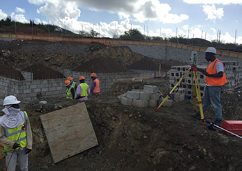
The process of establishing and marking the position and detailed layout of new structures such as roads or buildings for subsequent construction. In this sense, surveying may be regarded as a sub-discipline of civil engineering.
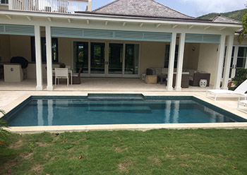
Also referred to as real estate appraisal, this is the process of developing an opinion of value for real property (eg: market value). Our assessment as to the market value of real property is of critical importance to sellers, home purchasers, lenders and real estate investors.
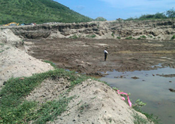
This type of survey involves the collection of data to compute volumes of material such as sand, stone, concrete and any other type of aggregate.
A proposal plan for a construction site that includes all existing and proposed conditions on a given site. The existing and proposed conditions always include structures, utilities, roadways, topography, and wetlands delineation and location if necessary. The plan might also, but not always, include hydrology, drainage flows, endangered species habitat and traffic patterns.
This is a survey of real property with the main purpose of determining the configuration or contour of the surface of the ground and the location of all natural and artificial objects, including utilities, drainage ways, structures, ingress and egress to the property and any other visible limitations or enhancements to the property.
Assisting clientele with the conversion or alteration of landform from its natural state into landscapes that will positively impact human’s interaction with the surrounding environment. Subdividing real estate into lots, controlling draining, monitoring dredging, excavating, filling, grading and paving are some of the services offered.

